Gallery
Non-georeferenced screenshots
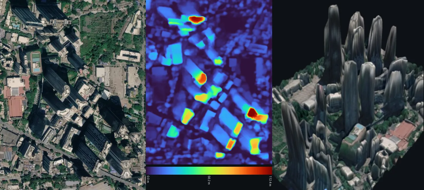
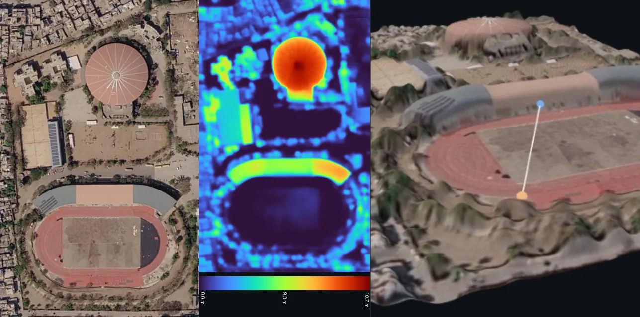
Section titled “Non-georeferenced screenshots”Plain screenshots with no metadata, processed at an assumed 0.5 m GSD. The output is an rDSM, and its metric scale is only as good as that assumption.
v3 vs v4
Section titled “v3 vs v4”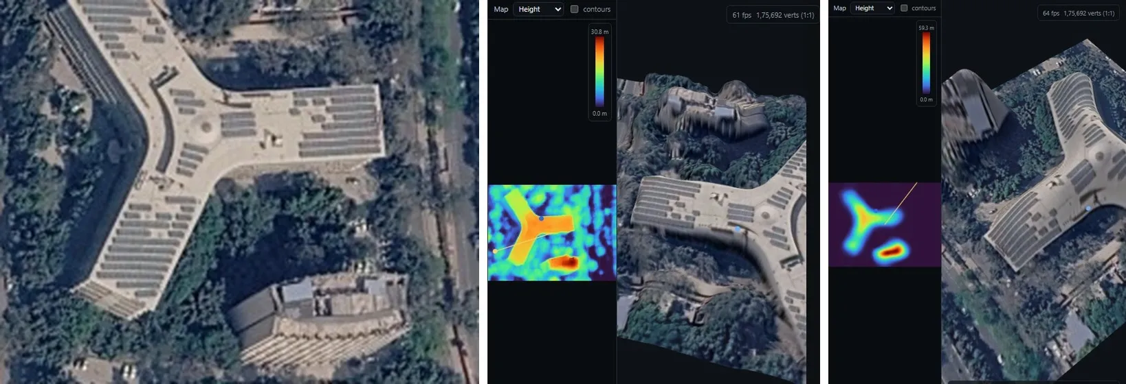
Cartosat-2E, georeferenced (absolute DSM)
Section titled “Cartosat-2E, georeferenced (absolute DSM)”A 1024 × 1024 px Cartosat-2E crop at 0.6 m (EPSG:32644, village and scrubland), processed by v5 with absolute enabled. The nDSM maxes out at 11.8 m and 92.3 % of pixels are below 1 m, as expected for a sparse rural scene. The DSM combines the DEM-anchored terrain with the nDSM, in metres above EGM2008.
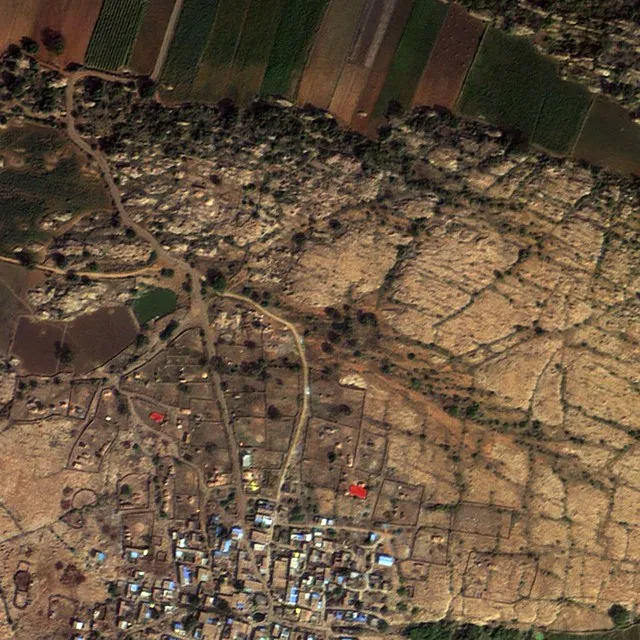 Input (bands 3-2-1)
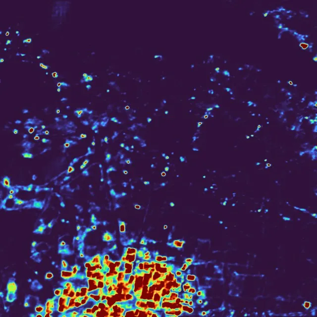 nDSM 0–3.5 m (p98)
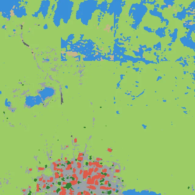 Classes
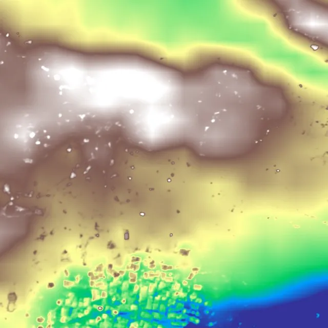 DSM 365–380 m
Cartosat-2S campus sample
Section titled “Cartosat-2S campus sample”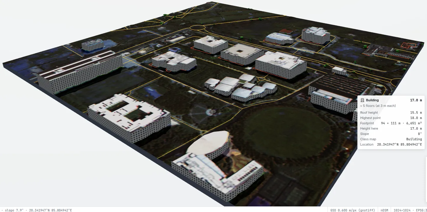
In the full web app: Infosys campus, Bhubaneswar (Cartosat-2S, 0.6 m, georeferenced). Buildings are extracted as 3D objects and OpenStreetMap roads are overlaid. The hover card reads a 17.0 m building (about 5 floors, 94 × 111 m footprint). You can explore this scene interactively on the docs home page. Google Maps · Source imagery: Bhoonidhi
The sample scene bundled with the web app (File → Sample scenes): a large campus with detached buildings.
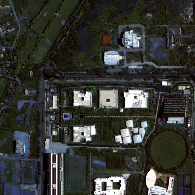 Input
Input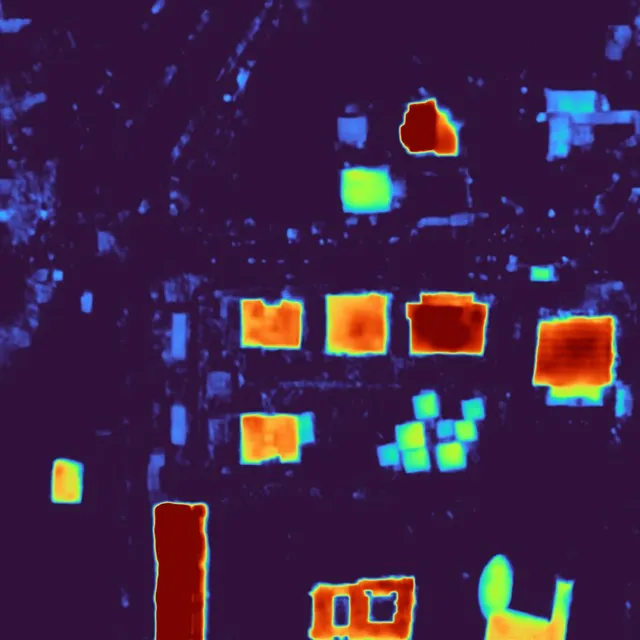 nDSM 0–18.4 m (p98)
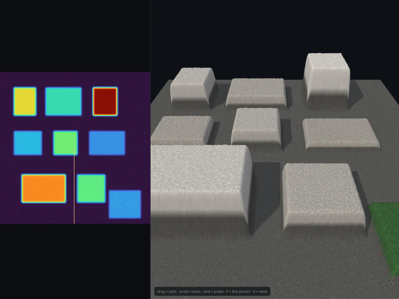
Synthetic test scene
Section titled “Synthetic test scene”A synthetic city with exact block heights of 24, 11, 38, 8, 17, 6, 30 and 13.5 m, used to test the viewer and the evaluation code end to end.